UNC Charlotte ASPRS Chapter Introduces K-12 Students to Remote Sensing and Geospatial Technology
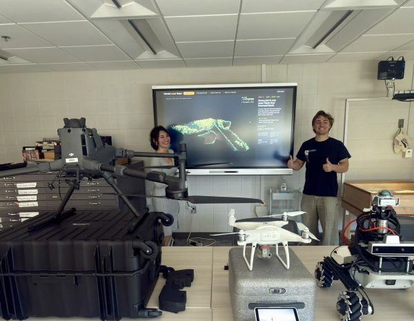
On Friday, October 16, the UNC Charlotte Chapter of the American Society for Photogrammetry and Remote Sensing (ASPRS) hosted an interactive introduction to remote sensing and geospatial technology as part of the Department of Earth, Environmental, and Geographical Sciences’ (EEGS) Envirothon event. The chapter organized and led a series of demonstrations designed to introduce visiting K-12 students to the applications of remote sensing in research, and environmental science.
As part of the event, ASPRS organized a visit to the CAGIS Lab, where students explored a variety of remote sensing technologies alongside Dr. Tianyang Chen, Dr. Li, and Dr. Wenwu Tang. Chapter members demonstrated the lab’s drones, explained how aerial imagery and other remotely sensed data are collected, and discussed how these technologies are being used today.
ASPRS board members Carmen Palao, Alden Sanderson, Josiah Williams, and Morgan Williams shared how they incorporate remote sensing into their own academic work and research. They also led an introductory lesson on different aerial and spaceborne remote sensing methods, giving students an opportunity to learn about the range of technologies and platforms used to observe and study the Earth.
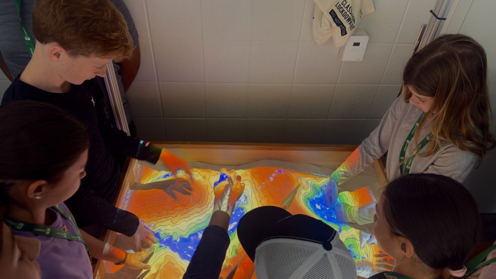
The chapter also showcased an interactive LiDAR point cloud featuring data collected by ASPRS Chapter President Sam Penry. Using the dataset, students explored how LiDAR can be used to measure tree heights and assess forest canopy coverage, connecting remote sensing concepts to real environmental applications. To conclude the session, students used the CAGIS Lab’s virtual reality sandbox to observe how topography and contour lines change in real time and simulate the movement of water across a landscape.
Through its participation in Envirothon, the UNC Charlotte ASPRS Chapter highlighted the value of geospatial technology while providing students with a hands on introduction to the tools and methods used by today’s remote sensing professionals.